Pitt River Regional Greenway Photo: Rob Weiss
Enjoying the solitude and silence, I cycled at a leisurely, relaxing pace along Metro Vancouver’s Pitt River Regional Greenway. Recently completed, the first phase of the trail stretches 10 km along the Fraser and Pitt River dykes from Harris Landing to Ferry Slip Road. As I pedalled, the noise of the city echoed around me, however, alone on the trail I felt somewhat removed from the often frantic pace of city life. As I began to unwind I became more in tune with the sounds of nature; birds calling, wind whistling through the trees and water lapping at the rocks. What a treat to have the trail to myself!

Pitt River Regional Greenway Photo: Rob Weiss
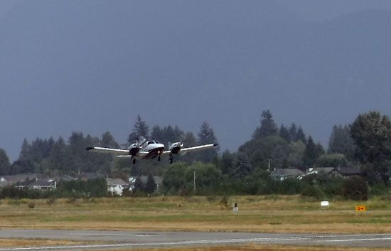
Beginning at Harris Landing in Pitt Meadows, I was immediately enthralled by the dappled forest pathway. Surrounded by Cotton Wood, Sitka Spruce and Alder I followed the meandering route along the river enjoying the serene atmosphere. My bike seemed to travel almost effortlessly, as my legs moved up and down over the flat ground. Exiting the woods, I found myself on a well maintained crushed gravel dyke trail. Windsocks fluttering in the distance served as a directional beacon guiding me along the path toward the Pitt Meadows Regional Airport. I felt confident that aviation enthusiasts would feel compelled to stop and spend time here observing the small planes and helicopters flying directly overhead. They appeared almost close enough to touch!
Pitt River Regional Greenway Photo: Rob Weiss
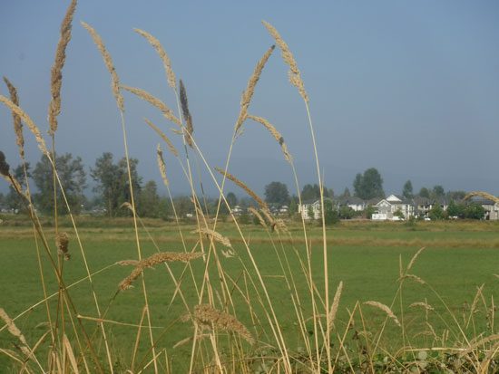
Past the airport, the trail continued along the dyke by a working sawmill, and through rich, agricultural land. Glancing across the vast cranberry fields, I made a mental note to return in October when the berries turn a bright red, and the harvest begins. A fall must see!
Pitt River Regional Greenway Photo: Rob Weiss
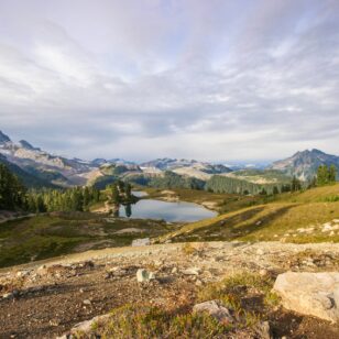
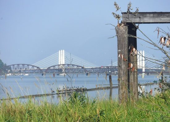
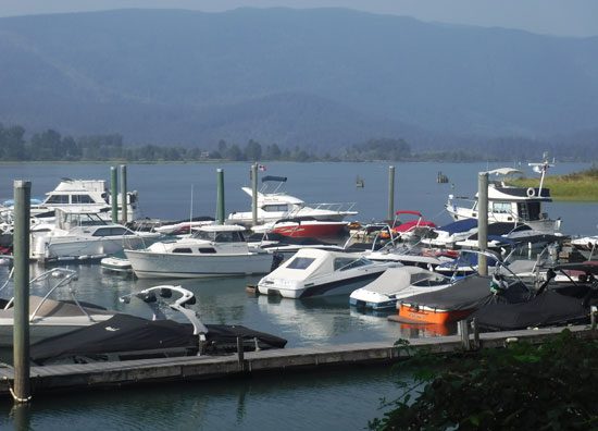
Not wanting my day to end I pedalled onwards, my wheels spinning smoothly beneath me. The roar of traffic rumbled in the distance and grew louder as I approached the Pitt River Bridge. Feeling energetic I followed the trail under the bridge and spun my way to the Pitt Meadows Marina. Despite the hint of fall in the air, numerous pleasure craft, fishing boats and seadoos jockeyed for position at the boat launch. Off in the distance, I noticed majestic mountain peaks towering above the river valley. Stopping to rest for a moment preparing myself for my return journey, I once again marvelled at the raw, natural beauty of Vancouver. Second to none!
Pitt River Regional Greenway Photo: Rob Weiss
Getting There:
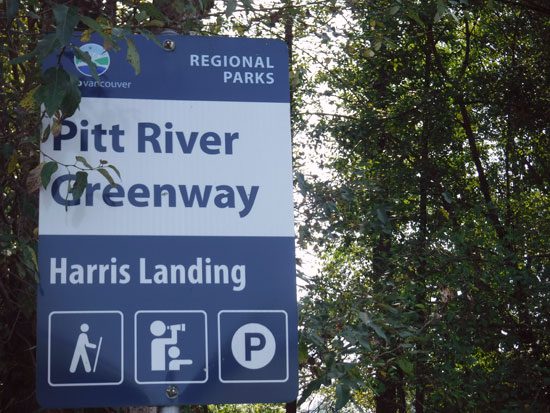
Part of The Great Trail (formerly known as the Trans Canada Trail), the Pitt River Regional Greenway can be accessed via Harris Landing in Pitt Meadows. The path is well marked, well maintained, flat and car-free, ideal for families and those in search of car-free rides. Parking is available at Harris Road and Fraser Way.
Pitt River Regional Greenway Photo: Rob Weiss
Currently, plans are in the works to extend the Pitt River Regional Greenway. Once complete the route will wind its way over 30 km to Grant Narrows creating links to city trails, additional sections of The Great Trail and the Alouette River dykes.


