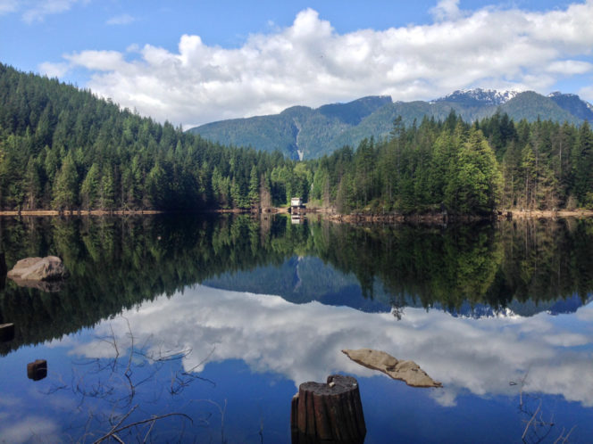
The easy trail around Buntzen Lake is a great December hike since it sits a low elevation that avoids ice and snow. It’s close enough to the city to make a great nature getaway when the hustle and bustle of the holidays gets overwhelming. The trail weaves through a gorgeous rainforest with lots of ferns, moss, and mini-waterfalls. Hikers of all ages will also enjoy the novelty of crossing both a floating bridge and a suspension bridge on the same trail. And no matter what time of year you hike, the views from the lakeshore are spectacular.
Trail Stats: 10km loop, 100m elevation gain, 3.5-4 hours, easy
Safety First: Just because this hike is close to Vancouver doesn’t mean you aren’t going to the wilderness. North Shore Rescue recommends bringing a backpack with essential safety and first aid gear on every hike. Check the forecast and pack extra clothing for the weather. And leave a trip plan so someone knows where you are going and when you will be back.
Getting There: Buntzen Lake is located a short drive east of Vancouver in the village of Anmore. To get there from Vancouver, head east on Hastings Street. Hastings eventually becomes Barnet Highway (Highway 7A). As you reach Port Moody, turn left at the traffic light onto St. John’s Street to stay on Highway 7A for a few kilometres.
Turn left onto Ioco Road, which turns into Heritage Mountain Road as it climbs a hill. Stay on Heritage Mountain until it reaches a roundabout, then go right onto David Road. Make the next left onto Forest Park Way, then another left onto Aspenwood Drive, following signs for Buntzen Lake. Aspenwood becomes East Road. Follow East Road to Sunnyside Road and turn right. Sunnyside Road heads directly into the park.
The park road is gated and is open from 8:30 am to 4:30 pm in the winter. Be sure to plan your hike so you don’t get locked in. The park road ends at a large parking area.
It’s also possible to take public transit to Buntzen Lake. Take the Skytrain to Port Moody Centre Station on the Evergreen Line. From there, take the 182 bus to Sunnyside Road near the Anmore Grocery Store. You can walk into the park from there. It’s about 2km along the park road.
The Trail: Buntzen Lake is actual a reservoir operated by BC Hydro so expect to see evidence of hydroelectric power generation on the trail including a pumphouse and a water tunnel. There are lots of trail in the area, so bring a copy of the Buntzen Lake Trail Map to stay on track.
The hike starts on a gravel trail in the southwest corner of the parking lot (the opposite end from the beach). Follow the trail through the trees to a floating bridge over the lake outlet, ignoring all side trails. Once you get across the bridge, turn right onto a gravel road. Follow the road alongside the lake until reaches the pumphouse.
After the pumphouse, the route switches to a trail through the forest. The trail climbs through the trees, crossing several streams on small bridges. As the trail descends towards the lake, it follows the power lines. There are great views of the lake through here.
Follow the main Buntzen Lake trail as it heads back into the trees and crosses a suspension bridge over a narrow finger of the lake. On the other side, head over to North Beach. There’s a great view from here and it’s much quieter than South Beach at the other end of the lake.
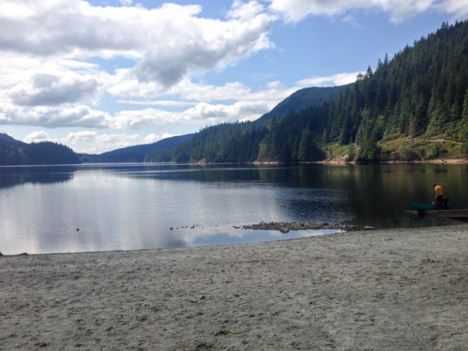
The view from North Beach
From the beach, follow the trail along the lakeshore. It will take you past a tunnel where water rushes out from nearby Coquitlam Lake. Stay on the trail as it climbs a steep slope up to a gravel road. Turn right and look for the trail descending into the trees again.
The rest of the hike is along a forested trail on the east side of the lake. There are views of the lake through the trees and lots of pretty little creeks to cross. This section of the trail is definitely the most beautiful. Eventually, the trail ends at a fence next to the dog area at South Beach. Follow the trail beside the fence towards the main beach, and then back to the parking lot.
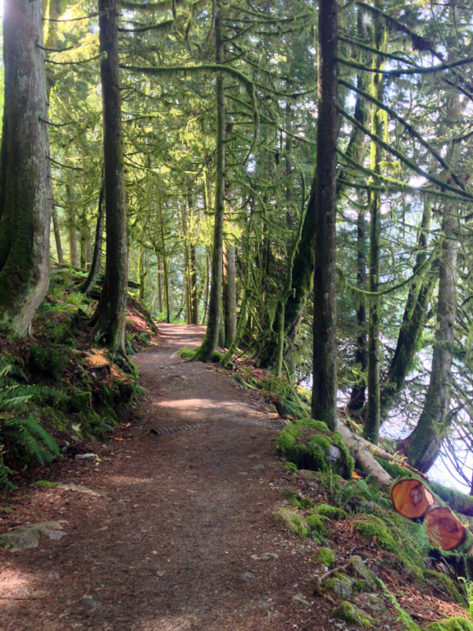
Forested trail on the east side of Buntzen Lake







One Response to December’s Vancouver Hike of the Month: Buntzen Lake