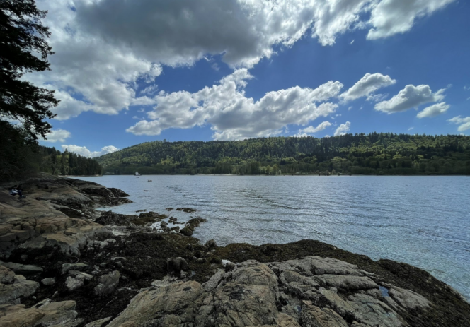
View from the Admiralty Point Trail. Photo: F.L. May/All Trails
With snow lingering in the mountains, February is a great time to hike next to the ocean. This route lets you follow the flat and easy trail along the shoreline to Admiralty Point in təmtəmíxʷtən/Belcarra Regional Park.
Trail Info: Easy; 6 km round trip; 1.5-2 hours; minimal elevation gain; dogs allowed on leash
Safety First: AdventureSmart recommends bringing a backpack with essential safety and first aid gear on every hike. Check the forecast and pack extra clothing for the weather. Leave a trip plan so someone knows where you are going and when you will be back.
Getting There By Car: From Vancouver, head east on Hastings Street which becomes Barnet Highway (Highway 7A). Once you reach Port Moody, turn left onto St. John’s Street to stay on Highway 7A.
Turn left onto Ioco Road and drive a few blocks, then turn left again to stay on Ioco Road. Follow Ioco for 4km, then turn right onto First Avenue, which becomes Bedwell Bay Road. Continue on Bedwell Bay for 2.4km to a Y-junction where you go left onto Tum-Tumay-Whueton Road into the park. Stay on this road until it ends at a parking lot in about 4km. The park is open from 7 am until 6 pm in the winter.
Getting There By Public Transit: Take the Skytrain to the Moody Centre Station on the Evergreen Line. From there, take bus 182 to the Bedwell Bay Road at Midden Road stop. Walk south through the parking lot to the trailhead.
The Trail: The hike to Admiralty Point is easy to follow, with lots of signs. Bring a copy of the park map to help you find your way. The path can be muddy with slippery tree roots, so wear hiking boots and take your time.
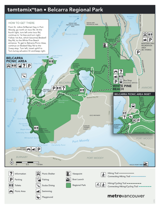
Photo: təmtəmíxʷtən/Belcarra Regional Park
The trail begins in təmtəmíxʷtən/Belcarra Regional Park. This area was an important winter village site for the Tsleil-Waututh people. təmtəmíxʷtən has several meanings, including “lots of land” and “the biggest place for all the people”. The second half of the trail is actually in a national park, managed by Parks Canada.
Find the trailhead near the washroom building. The trail heads through the forest and crosses a gravel road. After a short uphill, the path takes you back down towards the ocean. The remainder of the hike rambles along the shoreline with frequent views through the trees.
After about one kilometre, watch for a signed spur trail to the right. It leads to Cod Rock and a great viewpoint. Continue along the main trail for another 600m to Maple Beach, which is a fun place to explore at low tide. There is an outhouse here too.
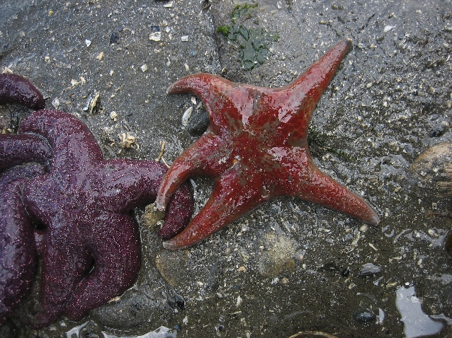
Photo: təmtəmíxʷtən/Belcarra Regional Park
Reach the turn-off to Admiralty Point a few minutes later. There are several trails along the peninsula, each with its own unique vantage point. Be sure to look for the historic plaque from 1915. Admiralty Point makes a great destination, and if you like, you can turn around and head back to the parking lot from here.
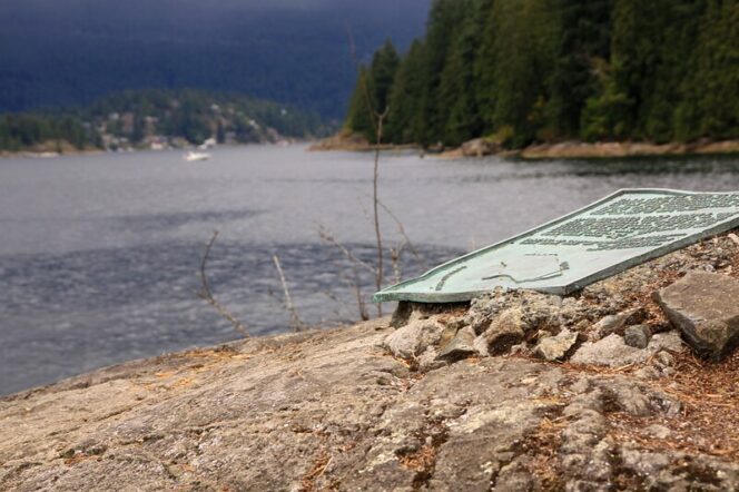
Photo: Waferboard/Flickr. Used under CC BY 2.0)
But if you want to hike a little further, continue along the trail for another kilometre to Burns Point. The scenery is similar, but it gives you a slightly different view of Port Moody Inlet and Burnaby Mountain. After you’ve enjoyed Burns Point, retrace your steps back to the start.
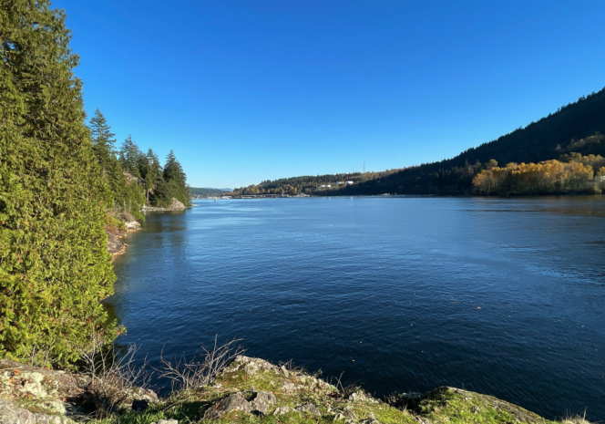
Photo: Cassie and Eric/All Trails


