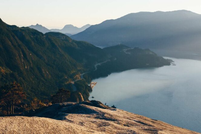
View from the top of The Stawamus Chief. Photo: Destination BC/Ben Girardi
The Stawamus Chief in Squamish is a great spring hike since it takes you to a summit with great views, but it’s low enough to avoid snow. This guide has all the info you need to tackle this tough trail.
Trail Info: Challenging, 3.5 km round-trip, 2.5-3 hours, 535 m elevation gain, dogs not recommended due to steep slopes and drop-offs
Safety First: AdventureSmart recommends bringing a backpack with essential safety and first aid gear on every hike. Check the forecast and pack extra clothing for the weather. Leave a trip plan so someone knows where you are going and when you will be back.
Getting There: From Vancouver, take Highway 1 west towards Horseshoe Bay, then take Highway 99 north. Just after the first traffic light in Squamish, turn right into Stawamus Chief Provincial Park. The upper parking lot is closer to the trailhead, but if it is full, park in the lower lot.
Indigenous Context: The Stawamus Chief is in the traditional territory of the Skwxwú7mesh (Squamish) Nation. In the Squamish language, the Stawamus Chief is called Siám’ Smánit, which roughly translates to chief. In Squamish oral tradition, the mountain is a longhouse transformed to stone by Xáays, the Transformer Brothers.
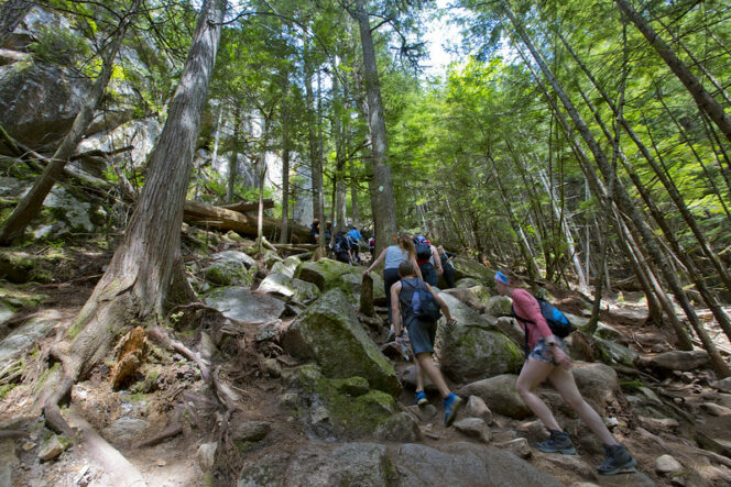
The Trail: The Stawamus Chief is a huge granite monolith. Rock climbers scale the sheer cliffs but your route ascends through the trees on the backside of the peak. It is a very steep trail with lots of stairs. At the top, you’ll use ladders and chains to make your way up the rock outcrops. Only experienced and fit hikers should tackle this trail and it may not be suitable for children, dogs, or those with a fear of heights.
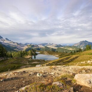
There are actually three separate peaks on the Stawamus Chief. Most hikers ascend to First Peak, which is the shortest hike, so that is what is described here. But if you have more energy, you can visit the Second and Third Peaks for slightly different views.
The trail network at the Stawamus Chief is well-marked and usually fairly easy to follow. Watch for markers on trees and signs at each junction. Bring the park map to help you stay on track.
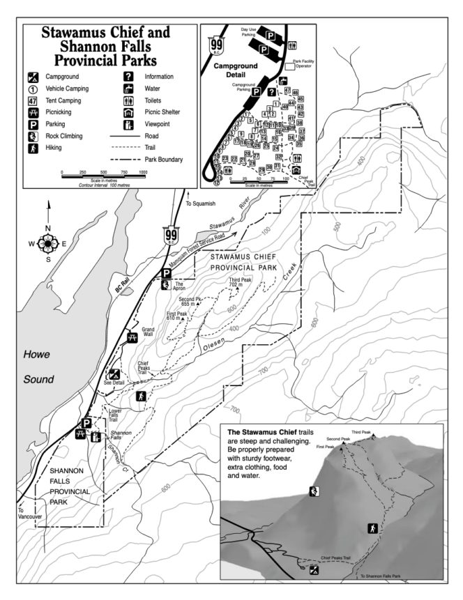
Map: Stawamus Chief Provincial Park
From the upper parking lot, follow the wide gravel trail into the forest, passing the campground. Ignore a trail joining from the right and stay on the main trail as it climbs up several sets of wooden stairs next to the rushing waters of Olesen Creek.
About 1 kilometre from the start, reach a junction. Your route goes left. (The Sea to Summit Trail to the Sea to Sky Gondola goes right.) Arrive at another intersection a few minutes later. Go left again towards First Peak. The righthand trail goes to Second and Third Peaks.
Continue uphill through the forest. Detour to an open area on your right for a view across Olesen Creek towards the Sea to Sky Gondola. Back on the main trail, keep following the trail steeply uphill to another junction. Go left again to First Peak. The trail to the right is another route to Second Peak.
Stay on the steep trail and encounter a metal ladder a few minutes later. After the ladder, follow the trail through the forest to a rocky bluff with a chain. Hang on to the chain as you scale this steep section. The ladder and chain can be a bottleneck on busy days, but be patient and wait your turn as other hikers come down.
Past here, watch carefully for markers on the trees or the rock itself as your route swings to the northeast and heads towards the summit. The open peak has great views of Squamish, Howe Sound, and the Sea to Sky Highway heading south.
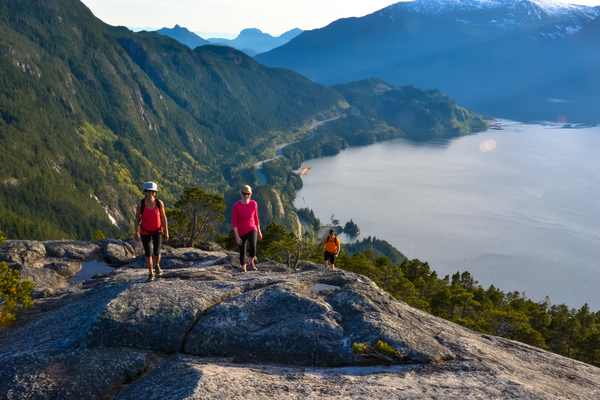
Photo: Tourism Squamish
Once you have enjoyed the views, retrace your steps back downhill. The only safe route off the summit is the one you came up – all other routes are for rock climbers only.
If you have the energy, follow well-marked but equally steep trails to the summits of Second and Third Peak. These routes also have ladders, chains, and steep drop-offs, so the same cautions apply. Otherwise, follow the steep trail and wooden staircases back down to the parking lot.
