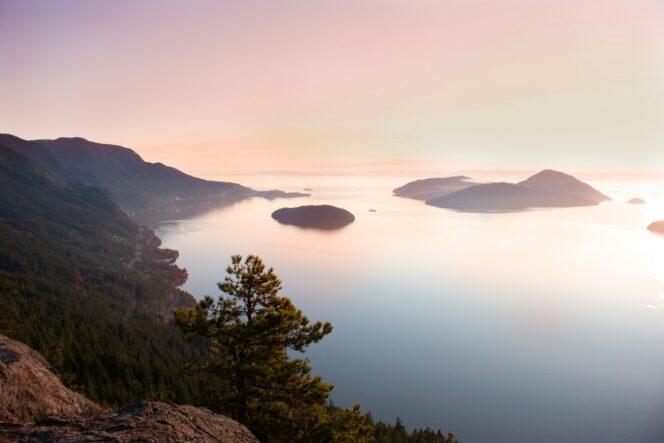
View from Tunnel Bluffs. Photo: Coral Ouellette/Unsplash
Tunnel Bluffs has a great effort-to-reward ratio: it’s a short but steep climb to a spectacular viewpoint over Howe Sound.
Trail Info: Moderate; 11 km round-trip; 450 metres elevation gain; 4 hours; Dogs permitted.
Safety First: AdventureSmart recommends bringing a backpack with essential safety and first aid gear on every hike. Check the forecast and pack extra clothing for the weather. Leave a trip plan so someone knows where you are going and when you will be back. Check out our tips for safe summer hiking in Vancouver for more advice.
Getting There By Car: From Vancouver, go north on Highway 1 and then Highway 99. In the village of Lions Bay, take the Lions Bay Avenue exit. Turn left onto Crosscreek Road, right onto Centre Road, left onto Bayview Road, left onto Mountainview Drive, then left onto Sunset Drive. There is a parking lot at the end of the road but it fills up quickly. Use the Flowbird app to pay for parking or to find other legal places to park in Lions Bay. The other parking areas are lower down the hill.
Getting There By Bus: Take the 257 or 250 bus from downtown Vancouver to Horseshoe Bay. Then take the 262 bus to Lions Bay. From there, you will need to walk up the roads, following the driving directions above. The walk adds 1.8 km each way and 160 m of elevation gain to your hike.
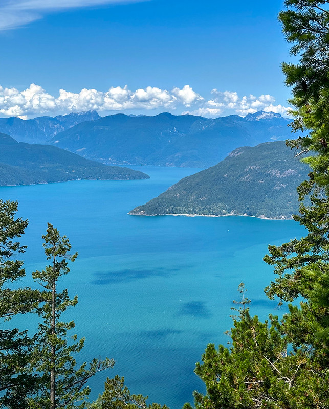
Looking north from Tunnel Bluffs. Photo: Alex Costin/Flickr used under CC BY-ND 2.0
The Trail: The route to Tunnel Bluffs is fairly straightforward, but pay attention to hand-made signs at intersections to make sure you are on the right track.
From the parking area, walk around the gate onto a gravel road. Your route will be on this road for the first few kilometres. Follow the road as it switchbacks steeply uphill. About 2 km from the start, reach a fork and go left.
The old road gets narrower and flattens out a bit. A few minutes later, cross a log bridge over Magnesia Creek. Stay on the route as it begins to look less like a road and more like a trail. Ignore a trail branching off to the right to Brunswick Mountain.
Cross another log bridge about 4 km from the trailhead. Ignore a trail dropping down to your left. This is a now-closed route from Highway 99. Shortly after that, ignore a trail going right to Hat Mountain.
Soon, the trail curls left and scrambles over roots and rocks. The view opens up as you reach the edge of the bluff. The Sea to Sky Highway is below you along the side of Howe Sound. You can see Bowen Island and the Sunshine Coast as well.
After you have enjoyed the view, retrace your steps back to the trailhead.
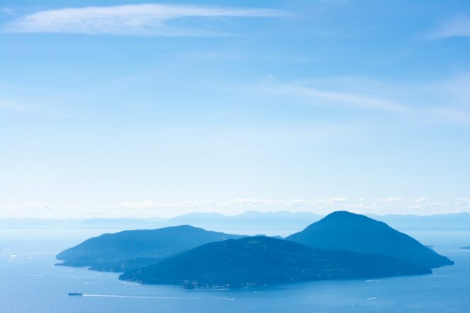
View of Bowen Island from Tunnel Bluffs. Photo: Mehran Meidani


