Sculptures at Burnaby Mountain. Photo: mehranbab/Pixabay
As a city that is immersed in nature, Vancouver has lots of great hikes. But did you know you can start in Vancouver and hike all the way across the county on the Trans Canada Trail?
What is the Trans Canada Trail?
The Trans Canada Trail (TCT) is Canada’s National Trail and at 27,000 km long, it is the longest recreation trail network in the world. It stretches across the country to all three coasts (Pacific, Atlantic, and Arctic). In places the trail follows remote routes through the wilderness, but in other areas, like Vancouver, it uses urban trails. Local community groups maintain each section of the Trans Canada Trail.
You can use the TCT’s interactive map to hike sections of trail all over Canada. To get get you started, here are five places to explore the Trans Canada Trail near Vancouver.
Trail Safety
Hiking is a fun and rejuvenating activity. But you need to be prepared. AdventureSmart recommends bringing a backpack with essential safety and first aid gear on every nature walk. Check the forecast and pack extra clothing for the weather. Leave a trip plan so someone knows where you are going and when you will be back. Check out our tips for safe spring hiking in Vancouver for more advice.
Stanley Park Seawall, Vancouver

People walking and biking along the Stanley Park Seawall. Photo: Destination Vancouver/Alex Strohl
The 10-kilometre-long path along the Stanley Park Seawall is one of Vancouver’s most iconic walks, and it’s also part of the Trans Canada Trail. It circles the perimeter of Stanley Park and includes incredible views of downtown Vancouver, the North Shore Mountains, Burrard Inlet, and English Bay. While this flat, paved path may not feel like a wilderness hike, it’s a great option for those who want to get a taste of nature without leaving the city. It’s also accessible to bikes, wheelchair users, and those who use mobility devices.
Capilano River Regional Park, North Vancouver
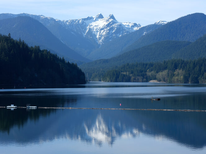
View of the Lions from the picnic area at Capilano River Regional Park near Vancouver. Photo: Kazutoshi Yoshimura
Home to giant trees, hiking trails, a spectacular canyon, mountain views, and an impressive dam, Capilano River Regional Park is a great wilderness destination in North Vancouver. The Trans Canada Trail follows trails through the park on its way west to Horseshoe Bay. You can use the park map to make your own loop through the trails or follow our step-by-step Capilano Canyon trail guide that visits the park’s highlights.
It’s also easy to get to Capilano River Regional Park without a car. You can take bus #232, #236, or #247. They all stop right outside the park. Combine your visit to the the park with a trip to Capilano Suspension Bridge, located just downstream.
Whyte Lake, West Vancouver
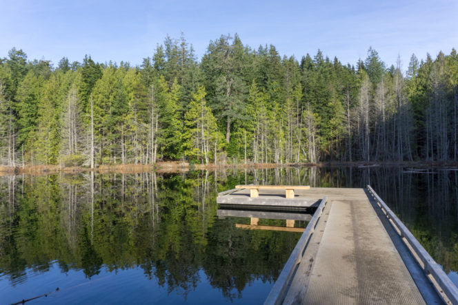
Whyte Lake. Photo: Taryn Eyton/HappiestOutdoors.ca
Tiny Whyte Lake is a great easy hike in West Vancouver. The trail travels through gorgeous old-growth forest along Nelson Creek Canyon on the Trans Canada Trail. You’ll leave the TCT on a spur trail to visit the lake (and maybe even go for a swim) but you can extend your hike by exploring further east on the TCT towards Cypress Provincial Park or further west on the accessible Seaview Walk Trail.
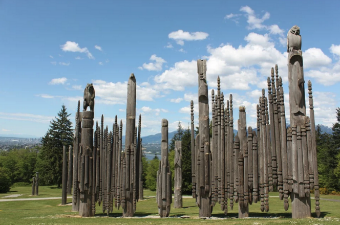
Burnaby Mountain, Burnaby
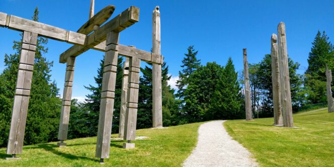
Playground of the Gods sculpture. Photo: Arjun Ken/Unsplash
At 370 meters tall (1,214 feet) Burnaby Mountain is more of a hill than a mountain. But there are still great views from the top. Follow the Trans Canada Trail up and over the peak in the Burnaby Mountain Conservation Area. Start on Hastings Street near the intersection with Burnaby Mountain Parkway and hike uphill to the viewpoint at the Kamui Mintara (Playground of the Gods) sculptures. Enjoy the incredible views of downtown Vancouver and Burrard Inlet.
Traboulay PoCo Trail, Port Coquitlam
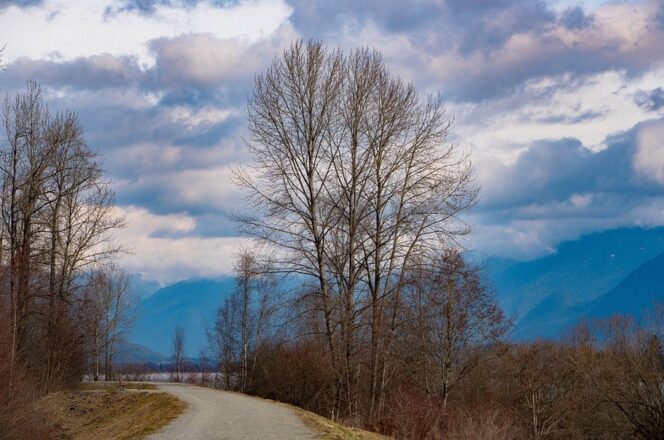
Poco Trail. Photo: richardsongo/Pixabay
Named for former mayor Len Traboulay, the 25-kilometre-long Traboulay PoCo Trail loops around the suburb of Port Coquitlam. Some of the route is paved, but the rest is crushed gravel so it’s great for biking as well as walking. The northern and eastern sections are part of the Trans Canada Trail. The most scenic portions are along the Coquitlam and Pitt Rivers.


