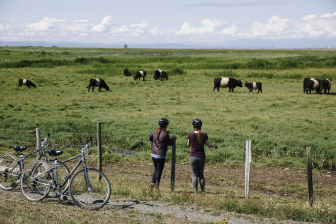
Stopping to watch the cows along the West Dyke Trail in Richmond. Photo: Tourism Richmond
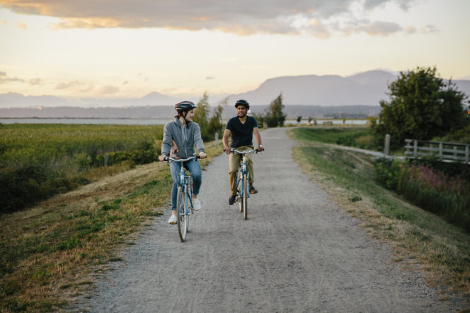
Vancouver is a great city for biking, with tons of bike lanes across the region. If you want to avoid cars entirely, check out these 10 car-free bike paths that take you beside beaches and rivers, through the city, and to mountain views.
Stanley Park Seawall, Vancouver
The 10-kilometre loop around the Stanley Park Seawall is Vancouver’s most famous bike path. The scenic ride includes views of Burrard Inlet, the North Shore Mountains, the Lions Gate Bridge, and English Bay. Bikes have their own dedicated lane and must travel counter-clockwise around the loop.
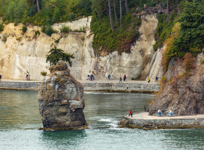
Cyclists on the Stanley Park Seawall. Photo: Destination BC/Heath Moffatt
Jericho Beach to Spanish Banks, Vancouver
Bike beside the ocean and enjoy great views of the North Shore Mountains. Follow gravel bike paths between Jericho Beach and the west end of Spanish Banks, 3.5 kilometres away. Take a break to dip your toes in the ocean.
False Creek Seawall, Vancouver
Follow the seawall around the perimeter of False Creek on a dedicated car-free bike path. The 10-kilometre route passes David Lam Park, Science World, Olympic Village, and Granville Island before ending at Vanier Park.
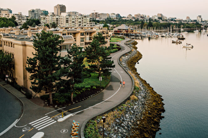
Photo: Tourism Vancouver / Tanya Goehring
Arbutus Greenway, Vancouver
This car-free nine-kilometre-long bike route cuts a swath through the middle of Vancouver, following the path of an old rail line. The paved bike trail runs from the Fairview neighbourhood near Granville Island all the way to Southwest Marine Drive.
Seymour Valley Trailway, North Vancouver
This unique bike ride takes you along a 12-kilometre-long paved trail through the forest of the Lower Seymour Conservation Reserve. The route starts near Rice Lake and ends at the Seymour Dam with lots of mountain and river viewpoints along the way.
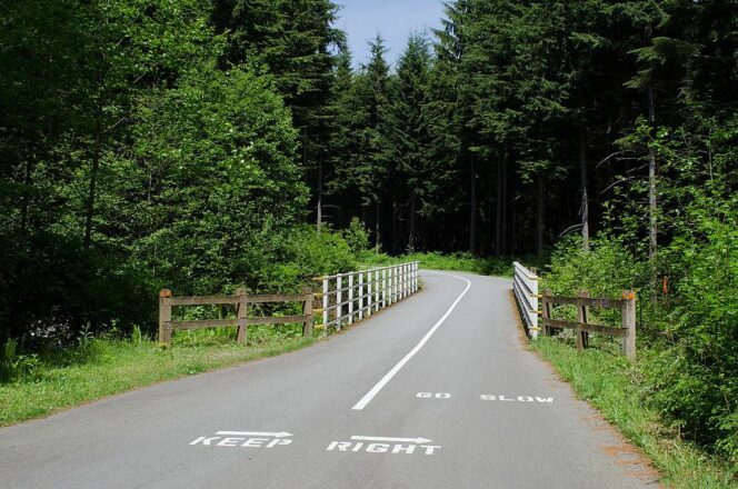
Seymour Valley Trailway. Photo: Jeff Hitchcock, Wikimedia Commons. Used under CC BY 3.0.
North Shore Spirit Trail, North Vancouver and West Vancouver
Eventually, the Spirit Trail will stretch from one end of the North Shore to the other. Currently, you can bike an 11-kilometre section between Ambleside Park and Moodyville Park, passing Lonsdale Quay along the way. Most of the route is completely separated from traffic, but you do have to cross a few roads at crosswalks or lights.
Biking along the Spirit Trail. Photo: Destination BC/@vancitywild
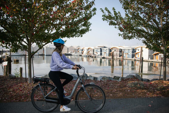
West Dyke Trail, Richmond
Enjoy a great six-kilometre-long gravel bike path atop the West Dyke in Richmond. The route starts at Terra Nova Park and finishes in the Steveston neighbourhood, which is a great place to get a snack at one of the riverfront restaurants.
Cycling the West Dyke Trail in Richmond. Photo credit: Tourism Richmond
Boundary Bay Dyke, Delta and Surrey
Follow the gravel trail along the edge of Boundary Bay. Enjoy beach views and great bird watching. The 20-kilometre-long route starts at Centennial Beach in Tsawassen’s Boundary Bay Regional Park and finishes at Mud Bay Park in Surrey.
https://www.instagram.com/p/CnAmQ7Iy3eD/
Traboulay Poco Trail, Port Coquitlam
Named for a former mayor of the city, the Traboulay PoCo Trail makes a 25-kilometre loop through Port Coquitlam. Most of the route is on car-free gravel trails next to the Pitt and Coquitlam Rivers.
Trabouley Poco Trail. Photo: richardsongo/Pixabay
Pitt Meadows Dykes, Pitt Meadows
With over 30 kilometres of gravel dykes, Pitt Meadows has nearly endless possibilities for car-free cycling. The paths follow the banks of the Fraser, Pitt, and Alouette Rivers. A popular option starts at the southern end of Harris Road and follows the dykes past the airport and cranberry fields to the Pitt River Bridge.
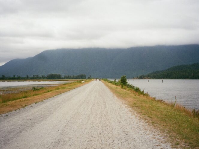
Pitt Lake dyke. Photo: Lauren Kan/Unsplash


